
We’re signed up to the Environment Agency Flooding Alerts and we do receive them now and then. One came today, 20th February, it always makes sure it gets your attention. All at the same time we receive a text, an email and an automated phone call. You have to listen to the phone call all the way through and then Press “1” to acknowledge it otherwise it keeps ringing again until you do.
Today’s Alert was for the River Trent. Being in Long Eaton we are covered on all sides by rivers. The Erewash to the North, Derwent to the South West, Trent along the bottom (West to East) and the Soar to the South. They all combine into the Trent in the Long Eaton area.
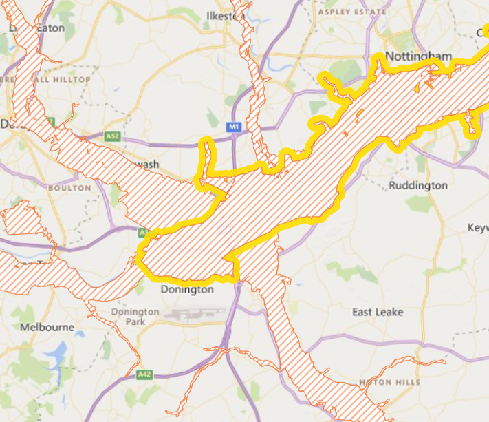
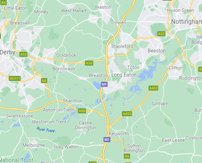
Todays Flood Alert Map is shown below on the left. The shaded areas are Flood Alert Area from the various rivers. Long Eaton is under that big patch in the middle. The map on the Right shows where Long Eaton is.
Needless to say, we’ve not been flooded yet. We do keep our eye on it though, just in case.